Saturday, December 31, 2011

One Last Bit of Badassery for 2011

top of the first climb, near the base of Black Mountain
Well, if we're going to have a low snow year and 50 degree temperatures, I might as well make the most of it, don't you think?  I spent Wednesday at the USGS map store, pouring over topo maps and all the possibilities of going places.  Picked up some maps of central Nevada of a place I really want to go to, passed on some maps of western Utah that I could live without, and ended up with a new Wasatch Front map which has been occupying my thoughts for the past few days.

I found myself looking at the map and finding routes, and saying to myself, "What if... " Oh, the possibilities seem endless.

I even took the map over to a friend's house and he said, "You should have been a cartographer," when I pointed out a few minor inaccuracies in the map.  Yeah, maybe I should have.  So I ran the route by two of my friends that night, and they looked at me like I was insane.  Rightfully so, not many people plan out this type of 20-mile route for one of the last days in December.  My response to their stares was, "Hey, I've got all day to do it.  Might as well make the most of my day.  It's supposed to be 50 degrees and sunny tomorrow."

Well, I ended up staying out a little later than I had planned that night, and probably shouldn't have had the second glass of wine, so I got a little bit of a late start.  Still, hiking by 10am didn't seem so bad.  It was sunny and beautiful to start out the route on the Shoreline trail and begin the climb up to Black Mountain.  I had a short phone conversation with my friend as I was starting out, and promised to check in throughout the day.  I was estimating a minimum time of completion of 6 hours, which may have been spot-on if it hadn't been for the snow.
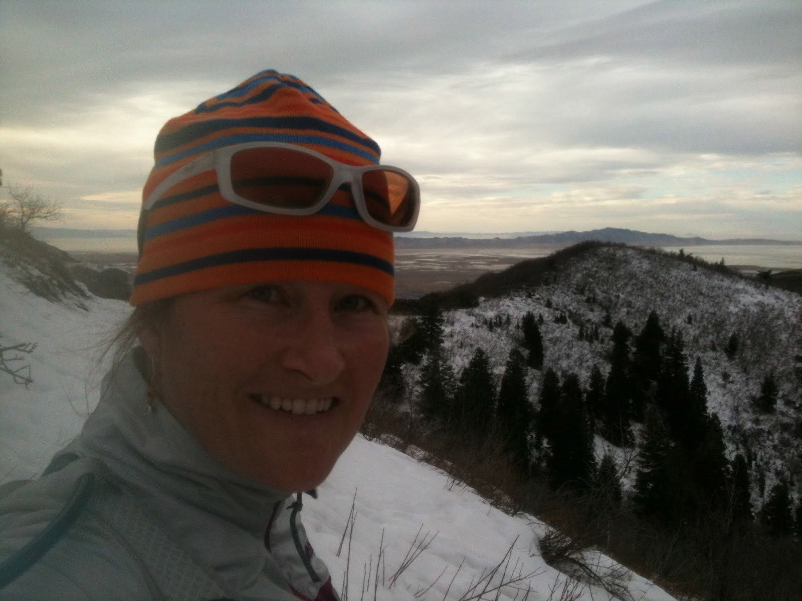
false summit of Black Mountain, nearly to Smuggler's

I got up to the crux of the climb on Black Mountain, and the snow was slick.  All these warm days had turned a lot of it into ice.  And I had left my spikes back in the car (you can only carry so much gear, you know?).  I made it up to the crags section and started seeing what I thought was mountain lion scat, and was telling myself that it was only coyote scat, but all the while was thinking, "This would be a perfect hangout spot for big cats."
Black Mountain Summit

It was really windy on the ridge top, probably 30-40 mph steady winds, and the sunshine had gone away behind the high clouds.  Indeed, the entire valley was clouded and I started rethinking my decision for this route.  But I held myself to just re-evaluate along the way, and not make any decisions in the present moment except for getting through the current section of the route.

glassy lake below, 30mph ridge top winds above
I made it to Smuggler's Notch after about 3 hours, and rather than scramble across the rocks that I had just come across on the ridge (it was kind of a scary section what with the ice on the rocks and being alone on a precipice... ) I was committed to going down the Smuggler's trail.  It was snow-covered, but the route was distinguishable, and I've traveled it enough times to know where I was going.  The snow was for the most part supportable, but every so often I would break through to my knees.  I had worn my capri-length tights, and my lower legs were starting to get an ice burn, but I shrugged it off as part of the adventure.

About a mile down the 1 1/2 mile Smuggler's trail, I was really starting to look forward to getting to the City Creek Road.  First I would have to follow the creek, through a bunch of moose-track potholes for about a half a mile, then finally... pavement!  I took the opportunity to reconnoiter the map, and saw that my next destination, if I chose to carry on with the plan (plan B was to just run down the City Creek Road and call it a day... ) would be at Rotary Park.
from whence I came ~ the East Ridge with Black Mountain

near Rudy's Flat atop the West Ridge

I had a little trouble finding the North Fork trail to Rudy's flat and went up and down the road for a half a mile or so, but then found the trail following a side creek up the west side of the canyon.  There were some fairly fresh footprints on the trail, and I attributed them to hunters, as it seems most hikers have abandoned this trail.

I made it up to Rudy's Flat, which was covered in several feet of soft, sugary snow.  I had traveled the last 1/2 mile or so uphill in the snow, and was really starting to feel the ice burn on my legs.  At the top of Rudy's Flat, I had been traveling for just over 5 hours, and knew that my 6 hour estimate would not be reached.  I still had probably 8 miles to go along the west ridge but rather than go back the way I had come (back down the North Fork trail, which was plan C), I carried on.  I had scoped out the ridge as I was on Black Mountain, and saw that there were 4 significant hills that I would have to climb on the west ridge before having a consistent downhill the rest of the way to Meridian Peak.

The first two hills were difficult, because the snow was still about knee deep.  But some friendly elk had plowed quite a nice path, and it appeared as though people come up from the Bountiful side to access the area, so the going was smoother than I thought it would be, for the amount of snow present.  I was even able to run a bit, rather than hike, which was a definite plus!
descending the West Ridge to Dude Peak


I kept my eyes open for the opportunity to veer left (rather than follow the well-established trail down to Mueller Park) and found it about a half mile later.  I was able to run along on some dirt on the ridge, until I came to the next section of snow, that is.  Each time I encountered a section of snow at this point, I thought it would be my last, but I was frequently mistaken.

I climbed over the four hills that I had seen earlier from across the way, and on the fourth hill as I was climbing up to Dude Peak the evening sunshine was gloriously yellow, the wind had died down, and there were robins chirping in the bushes.  It was magical.

I followed the well-established double-track road at this point, down the ridge, and thinking to myself, "It's all downhill from here!"  Until I realized that I had missed a fork in the road, and was actually headed down to North Fork above Bountiful, in the wrong direction.  I had only gone about a quarter mile the wrong way, but it was heartbreaking to have to climb back up that hill again, let me tell you!
Wasatch aplenglow

After I got back on track, I continued on down the west ridge, with the antennas of Meridian Peak as my destination.  The sky had turned pink off to the west, and the Wasatch peaks were glowing off to the east.  I was texting my friend that I would be at Meridian Peak within a matter of a handful of miles.  He sent me words of encouragement that I would get the route done.

I got to Meridian Peak just as it was getting dark, and thankfully I had a headlamp with me.  The last two miles of single track down into City Creek were in the dark, and I spooked a herd of mule deer along the way (I apologized to them).  I was elated that I was almost finished.  I found some energy in my legs and trucked the last little bit to the car.

sunset on the West Ridge
I had finished my massive route:  19.6 miles, 8 hours, 6,600 ft of vertical gain.  One last bit of badassery to finish 2011.  What an incredible day (and year) it has been.

link to GPS route:  http://connect.garmin.com/activity/137608391

Tuesday, December 27, 2011

Reincarnated

I took the dogs on Christmas morning on one of our favorite routes:  Roxie's Loop in Red Butte, in the foothills of Salt Lake City.  I named the route years ago after my old yellow lab, Roxie, because I swear she could do the route by herself with her eyes closed:  right turn, left turn, up small hill, left turn, left turn, up the switchbacks to the overlook, around the corner, down past the stone house, right turn, up two switchbacks, down to the creek, across creek, left turn, down the road, through the arboretum, stop at the crosswalk, and back to the car.

My own two dogs, Artemis and Franklin, have gotten to know the route very well also.  Artie gets quite a ways ahead at times, but when I call out her name for her to "show herself" she always seems to be on the correct trail just up ahead.  Franklin tends to stick closer by, and usually nudges my hand with the top of his head, looking for a pat and letting me know that he will not stray like his sister.

There were a couple of moments this past weekend on Roxie's Loop, where I felt as if Artie and Frank had been reincarnated from dogs in the past.

Artemis took the personality of my old Roxie-girl:  the strong headed, independent thinker, a bit bullish, but strong as can be (both mentally and physically).  We got to a knoll on the backside of the route, and Artie took off across the hillside.  Yellow fluffiness floating across the rocks and through the brush, seemingly effortless.  I recalled the first ever hike that I had done with Roxie, where she drifted across this same hillside in a near effortless manner, and I wondered if I would ever get her back.  Both dogs (present day Artie, and former dog Roxie) came back after some calling, and I am amazed at the internal struggle that must go on in their minds fighting instinct to chase deer versus emotional attachment to their human.

Frank watched the entire display by Artie, leaning against my leg and looking for a pat on the head.  Intermittently nudging my hand, lest I forget that he was near me, ever the protector of his girl, this soulful dog with eyes so deep and clear that they will melt anyone's heart.  After Artie came back and we proceeded down to the creek, Frank clomped through the frigid water, gulping at the riffles, and glancing up at me between swallows to make sure that I had not strayed too far away from him.  I looked into his clear brown eyes, surrounded by a gray sugar-dusting of aged fur, and thought of my brother's old golden Copper.  What a soulful dog he was as well, and also ever the protector.  I remember how we drove cross-country years ago and he looked after me on that car trip as I suffered from food-poisoning and had to pull off to the side of the road every ten miles throughout Nebraska.

Whoever said that dogs don't have souls, I'm sure was mistaken.  These beings can reach down into your chest and touch your heart at a place that you thought may have been iced-over forever.  Each day that I leave them at home as I head to work, I wonder how I will get through the day.  Each day that I have them out in the hills with me, I hope that the day will never end.  They are my everything, and they let me know that I am alive.

"We are alone, absolutely alone on this chance planet: and, amid all the forms of life that surround us, not one, excepting the dog, has made an alliance with us." ~ Maurice Maeterlinck

Friday, December 23, 2011

Rising Above It

I haven't been writing much the last couple of weeks.  I've been really just trying to get through to the Christmas Holiday with my head down, plugging away, to a point when I knew that I would have a few days off in a row and be able to relax a bit.  I also haven't had much to write about adventure-wise, because honestly the dogs and I have not had very many adventures.  Except for the day a couple of weeks ago that we got up to Round Valley by Park City and Artie scared two elk out of the scrub oak.  That was exciting for a little while.  But then the elk didn't really run, so Artie couldn't give chase.  The elk just kind of stood there and stared at us, which I felt was actually kind of amusing.  The dogs kept looking at the elk, then looking back at me, then to the elk, then at me, and finally the dogs just gave up and came back to me, and we kept running.

The weather has been really bad for a couple of weeks here in Salt Lake.  Some call it inversion, some call it smog, and the weather-people just call it "fog", but it's really a combination of all of the above:  cold air, locked in by high-pressure, with fog and pollution trapped in the valley.  You can barely see to the end of the street on some days, let alone the mountains that surround us.  I've been cooped up in the basement running on the treadmill for the last couple of weeks, watching videos on my computer as I run, and trying to get my weekly mileage.  Which is tough, when the majority of it feels like I'm just plodding along in the basement with the dogs staring at me and wondering why we are not going outside.

Thankfully, a couple of days ago and now just a few days before Christmas, the bad air has cleared out of the valley and things are sunny again.  What a wonderful Christmas present to be able to get outside in the sunshine!  But after a couple of days of nice weather, the bad air is starting to build again.  It's still not nearly as bad as it was, so I'm not complaining.  The only thing that clears out the bad air is a storm (big or small... ) and hopefully we have one on the horizon in about 4 days.

Today I got up in the hills above the city with the dogs and we had a great view of everything.  I had intended on going out for about 4 miles, but we turned it into 9.  It was fantastic.  And really only a handful of people were up there which is in stark contrast to the summer months when you see dozens of people on the trails.

Apparently people are skiing, but I'm still not convinced that it's really that worth it to go up to the mountains to ski.  The snow totals are really low (only about a 30 inch base) and I tend to get bored after skiing the groomed runs for an hour or two.  Given the conditions, I'd rather spend a couple of hours in the hills with the dogs, even if it means we have to drive up to Park City to hit the trails and get some sunshine.  At least for the next couple of days, it looks like we will be able to stick closer to home to get our trail miles in, though.  Happy Trails!  and Happy Christmas.

Saturday, December 3, 2011

my kind of town

I was feeling pretty ill and run down over the Thanksgiving holiday.  *Thankfully* it was a four day weekend and I was able to sleep a lot and get rested up and feeling better.  I had planned on going down to Arizona for the weekend with a couple of girlfriends to run the Grand Canyon rim-to-rim-to-rim run (a 47 mile, 10,000 ft vertical self-supported run) but just wasn't feeling up to it.  They had a great time without me, and I was quite melancholy about the whole thing and not being able to join them, but I knew after I had slept 13 hours Thursday night and then took a three hour nap Friday afternoon that I had made the right choice.  I didn't want to go down there and have some epic "fail" adventure and possibly get myself and my friends into serious trouble.

So since resting up over Thanksgiving, I've really only been doing 1 to 2 mile dog walks on the Shoreline trail.  I feel a bit guilty and a bit whimpy, because I know that friends of mine are logging 100-mile weeks still, despite the change in the weather and the summer racing season being done.  I've always been one to switch gears in the winter though, and maybe by not running so much, I build up more anticipation for the upcoming summer racing season.

In some ways, I'm looking forward to snow (we really have none... despite the fact that some people are skiing.  Heck, I went skiing a couple of times for an hour or so each time, but after skiing the same 4 runs I felt like it was time to go home and walk the dogs again).  It might be a low snow year this year.  I think it's been about 10 years since the last low snow year, so we are probably due.

Which is really fine with me, because the running in the foothills is really pretty great right now.  (Wait a minute... didn't I just get through saying that I was going to switch gears and not run for a few months?)

But I digress... where was I?  Oh yeah.  Dog walking.  Foothills.  Low snow.  *Sunshine* and cold temperatures.  Salt Lake City  --> my kind of town.